
For those of you who know nothing of the Jezreel valley, let me give a brief introduction.
Well, I'll attempt to be brief. It might not work.
I have to start with Israel. In the history of the world, the region that we now call the middle east has played a huge role. I think it is fair to say that almost all "world empires" that have arisen have vied for control over as much of the "middle east" as they could grab. Many of these empires even originate in the middle east. Israel was never really one of these empires, but the land of Israel was always fought over. This is because Israel (and to some extent Jordan) contain the best routes for getting from one area of the middle east to another. In days when airplanes didn't exist and boats were rudimentary at best, land routes were all there was. There were various routes that could be used, depending on your purposes and where you were headed, but in the end, most of the routes ended up going through the Jezreel Valley.
The Jezreel Valley is a roughly arrow shaped valley in Israel, north of Samaria, but south of Galilee. It is surrounded by various hills and mountain ranges, but there are 7 passes in and out of the valley: Jokneam, Kishon, Shimron/Shimon, Tabor, Harod, Dothan, and Megiddo. Since there are 9 people in our class we added the Nazareth Ridge and the Acco Plain and we were each assigned one to research and present our findings at two sites in or related to our regions. Here's a map of the region. The green flags are sites we visited, the balloons are other important sites that we saw but didn't stop at. The purple lines are approximations of the routes we talked about, and the red line is the boundary of the West Bank.

Rather that detail exactly everything we saw and talked about (and probably bore you to death) I'm going to include a number of pictures from the weekend to give you a taste of some of the things we saw.
Climbing up the tell of Jokneam. The road you see is coming from the Jokneam pass and heading off into the Kishon pass.

Here are all the girls in the class, sitting on a random couch on top of Helkath.

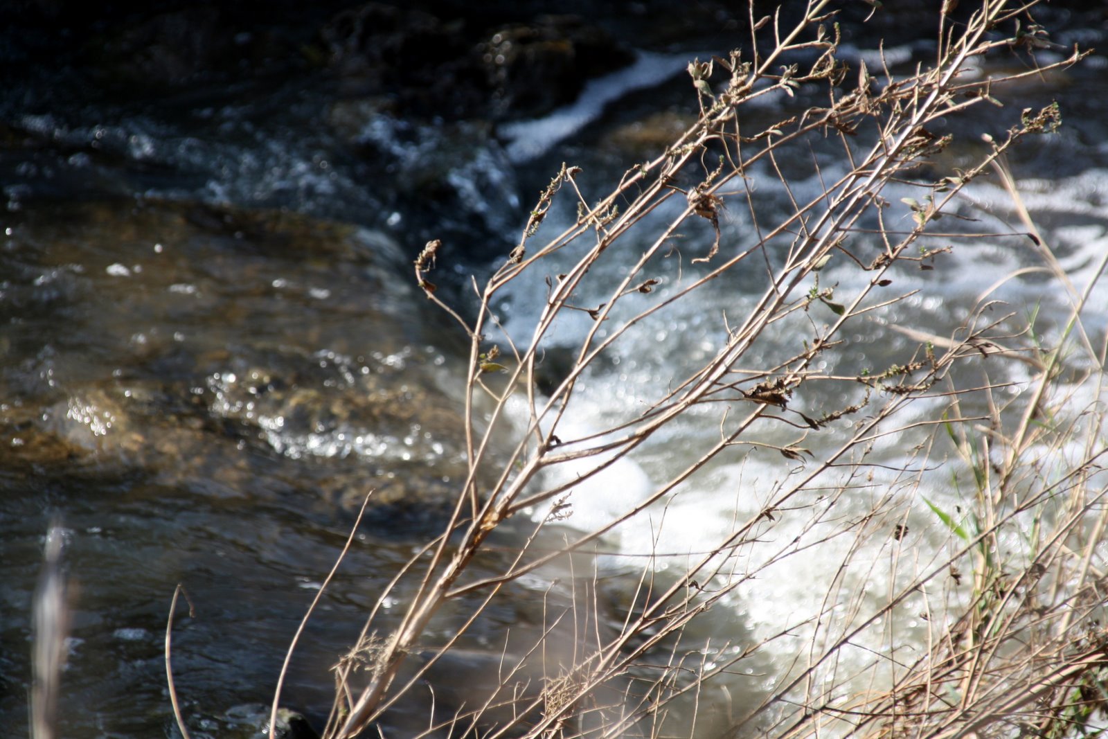
Today's "Rushing Torrent of the Kishon."
Party time at Acco! Probably part of Eid-ul-Adham.


We stopped briefly at a possible location for En Dor (the little mound right in front of Mt. Tabor).

On top of Mount Tabor (traditional site of the Transfiguration).


Starting to feel like spring in the Jezreel valley - green grass and flowers!

Sun shines through the clouds as we look at the valley from the top of the Nazareth Ridge.

Sunset by Hannathon.

The Harod Spring, of Gideon fame.

My site on Mt. Gilboa, from where we could see (almost) into the Dothan Pass.

More flowers!

When we got lost a little man appeared to point the way. (How do we go up??)

The forest of Gilboa reminded me of Montana. I even found a Christmas "tree" to bring home!

Our wonderful class and professor (and Mindy!) on Megiddo.

Finding firewood on a hill by Megiddo...which also reminded me of Montana.

Last "site" of the trip, looking at Gath-Padalla and the entrance to the Dothan Pass.

Hopefully this gives you a taste of some of the things I got to see over the weekend - both educationally valuable and beautiful.
No comments:
Post a Comment